
Houston enters the Easter weekend with a brief window of calm this Friday, but Saturday afternoon and night will bring the most delicate stretch of the forecast.
Houston will have a relatively manageable Friday before the weather shifts more markedly on Saturday. Forecast reports point to isolated showers during the morning and early afternoon on Friday, with no organized system over the city, while temperatures will again hover in the warm range of the low to mid 80s. The daily forecast also indicates storm activity in parts of the area and a high near 82°F, with a low of 70°F for the night.
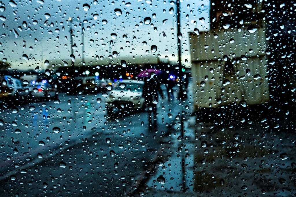
The most sensitive part of the weekend arrives Saturday. The cold front will move across Houston during the afternoon and night, with a window of time especially watched between roughly 3 p.m. and 11 p.m. In that period the expectation is the heaviest rainfall, along with storms capable of strengthening enough to produce gusts exceeding 58 mph and hail the size of a nickel.
The strongest stretch of Saturday targets the afternoon and the night
The most consistent signal in forecasts is that Saturday will not start with the worst weather. The morning will remain warm, humid, and with some scattered showers, but the major change is expected after noon, when the front begins to spark more organized thunderstorms. The official forecast consulted for Houston places that day in a scenario of periodic rain and thunderstorms, with a high around 80°F and a noticeable drop toward night.
Besides the risk of isolated severe storms, another delicate point will be the amount of rainwater accumulation. Meteorologists are warning of a risk of ponding on streets across much of southeast Texas due to very high humidity and a relatively slow advance of the front. Accumulations could reach between 3 and 4 inches in some areas. The most optimistic expectation is that this rain helps ease part of the regional drought without causing major flooding in low-lying areas and roads with slower drainage.
For Houston, that places Saturday afternoon as the part of the weekend with the greatest potential to disrupt outdoor activities, road travel, family gatherings, and religious observances. The practical recommendation remains the same: check updates on Saturday, avoid crossings with standing water, and do not assume that a calm morning means the rest of the day will behave the same. The hours with the highest potential for heavy rain remain concentrated toward the latter half of the day.
Sunday will start cooler, with strong north winds
After the front passes, Easter Sunday will take on a different tone. Very early there could be some light rain near the coast, but for most of Houston the day will begin with temperatures in the upper 50s, a cloudy sky, and strong northerly winds. The forecast for the city projects a low of 58°F and a high of 73°F, while local meteorological analysis places the afternoon in the upper 60s.
The temperature difference between Saturday and Sunday will be one of the most noticeable of the weekend. After a humid and stormy Saturday, Sunday dawns with cooler air and a generally drier feel. That transition does not completely eliminate the rain, but it does reduce the intensity of the main event expected the day before.
Sunday night still holds a chance of rain
The weekend’s wrap-up will not be entirely dry. The models cited in weather reports show another area of low pressure moving across Houston in the late Sunday afternoon and night. That additional round of rain does not appear as intense as Saturday’s front, but it maintains the possibility of precipitation returning toward the end of the day. Sunday’s forecast for Houston still shows occasional rain and thunderstorms in parts of the area.
For those with plans from Friday through Sunday, the pattern is fairly clear. Friday offers a partial pause, with scattered showers and heat. Saturday concentrates the greatest risk, with strong storms, substantial rainfall, and the possibility of ponding. Sunday starts cooler and generally calmer, though with clouds, strong winds, and another round of less intense rain toward the end. In a city used to abrupt spring swings, this weekend will ask for an umbrella, some wiggle room, and radar vigilance.