
Houston entered this week into a drier and hotter pattern, with temperatures in the 90s °F, humid nights and a lower chance of rain in Southeast Texas.
The change will be associated with a high-pressure system over the Texas coast, commonly known as a “heat dome.” This pattern will limit thunderstorm development, allow more afternoon sun, and keep the heat index above the thermometer reading.
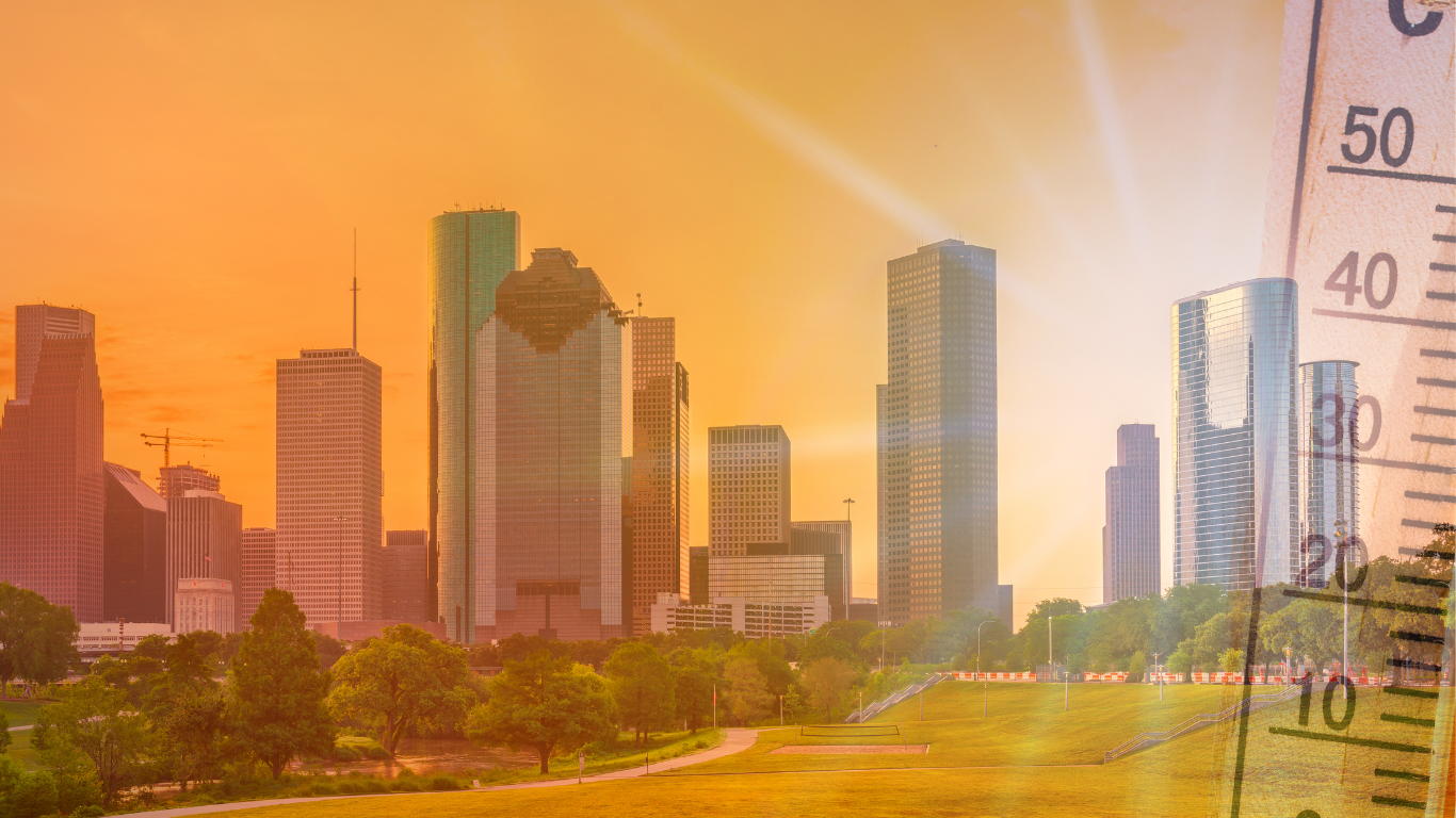
The afternoons will feel hotter again in Houston
After several days of rain and unstable conditions, Houston will have weather more typical of late June. Daytime highs will move mainly in the lower to mid 90s °F during the week, equivalent to about 32°C to 35°C.
For this Monday, June 22, forecast calls for a high near 93°F or 94°F in Houston, with partly sunny skies and high humidity. The overnight low will be near 78°F, around 26°C.
Although those temperatures are not unusual for this time of year, humidity will remain an important factor. In the afternoon hours, the combination of heat, humidity and little relief from rain can push the heat index above 100°F at times.
The heat dome will reduce the chances of rain
The high-pressure system will act like a cap on the atmosphere. That condition makes it difficult for widespread storms to form and favors sunnier afternoons in Houston and other parts of Southeast Texas.
With less rain, the heat will feel more constant throughout the workweek. Available forecasts show mostly sunny or partly sunny days from Monday to Thursday, with more localized thunderstorm chances toward the end of the week.
The reduction in rain can also alter the routines of those who work outdoors, make deliveries, wait for public transportation or participate in large events. The hottest hours tend to cluster between midday and the afternoon, when solar radiation and humidity raise the risk of heat exhaustion.
Houston still has not recorded 100°F in 2026
Houston has not yet recorded its first 100°F day in 2026. For now, forecasts do not show the city reaching that mark right away, but the heat pattern could bring it closer toward the end of June or early July.
The highs forecast for this week remain below the triple digits, but nights will stay warm. Lows could stay in the upper 70s °F and, in some areas, near 80°F.
That detail reduces nighttime cooling and keeps a warm base for the next day. When temperatures drop little overnight, homes, streets and urban surfaces retain more heat, especially in areas with lots of pavement.
Heat index could exceed 100°F
The official air temperature does not always reflect what the body feels. In Houston, humidity can elevate the heat index several degrees above the actual temperature.
For the coming days, highs will be around 93°F, but the heat index could feel in the triple digits during the afternoons. People outdoors for work, commuting, sport or events should take breaks, stay hydrated and seek shade whenever possible.
Heat can also affect children, the elderly, people with medical conditions, construction workers, gardening, delivery, maintenance and street vendors. Pets should not remain inside parked vehicles, not even for a few minutes.
The World Cup increases the need to prepare for heat
The heat increase arrives as Houston hosts World Cup 2026 activities. The city will have matches, international visitors, fan zones and outdoor events for several days.
Those planning to attend Fan Fest, walk near downtown, travel to Houston Stadium or spend several hours outside should check the forecast before heading out. Wearing light clothing, carrying water, protecting oneself from the sun, and planning breaks can reduce risks during the hottest hours.
People who rely on public transport or distant parking should also consider walking time. On days with a high heat index, walking several blocks under the sun can feel heavier than expected.
Recommendations for the coming days
To reduce risks during heat in Houston, meteorological authorities recommend limiting intense physical activity during the sunniest hours, drinking water frequently, and not waiting to feel thirsty to hydrate.
Also advisable to use sunscreen, a hat or cap, sunglasses and light clothing. If a person experiences dizziness, weakness, nausea, headache or confusion after heat exposure, they should move to a cooler place and seek medical help if symptoms worsen.
Residents can check weather alerts and updates with the National Weather Service and local sources before outdoor activities. The trend for Houston this week points to less rain, more sun and afternoons with elevated heat index.