
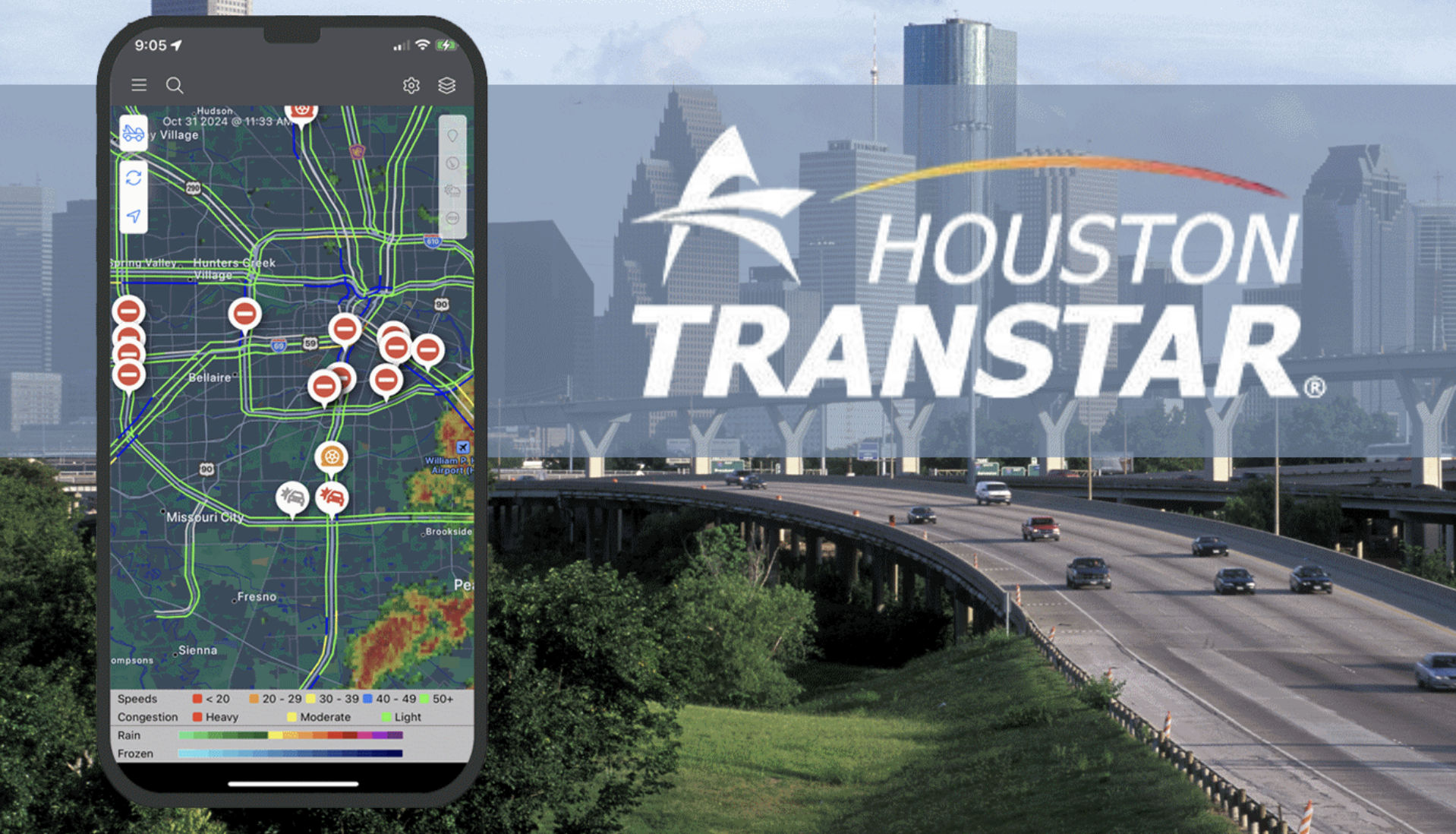
Houston TranStar allows reviewing accidents and closures; Harris County measures rainfall and bayou levels; CenterPoint Energy and Entergy Texas display outages and the National Weather Service maintains radar and alerts.
Last link check: September 5, 2026.
HOUSTON, Texas — Houston’s live maps allow you to review accidents, road closures, accumulated rainfall, bayou levels, potential flooding, and power outages before you go out or during a storm.
There isn’t a single tool covering all those conditions. Houston TranStar concentrates traffic information; the Harris County Flood Warning System measures rainfall and canal levels; CenterPoint Energy and Entergy Texas manage separate outage maps; and the National Weather Service maintains the radar and weather alerts.
Useful maps for Houston
- Traffic, accidents and closures: Houston TranStar.
- Rain and bayou levels: Harris County Flood Warning System.
- Outages across much of Houston: CenterPoint Energy.
- Outages in areas served by Entergy: Entergy Texas.
- Radar and weather alerts: National Weather Service Houston/Galveston.
- Flood risk for a property: MAAPnext.
- Municipal requests: Houston 311.
Houston TranStar shows accidents, closures, traffic and water on roadways
Houston TranStar allows reviewing the conditions of the area’s main roadways in real time.
The map includes accidents, stalled vehicles, speeds, road closures, construction work, traffic cameras and electronic message boards.
It also features specific layers for water on the roadway, road flood risk and weather radar.
Users can switch between different regional zones, including central Houston, northwest, northeast, southeast and southwest, in addition to Galveston County, Montgomery County, Sugar Land and other areas.
The Houston TranStar traffic map allows turning each layer on or off according to the information needed.
Harris County measures rainfall and bayou levels with real-time stations
The Harris County Flood Warning System uses stations spread across the region to measure rainfall and water levels in bayous, creeks and channels.
The system lets you search for an address to locate the nearest gauges and review how much rain has fallen during different periods.
It also identifies whether the water level remains within a channel, approaches the banks, or reaches conditions where flooding is possible or likely.
The flood layer may show affected areas around certain bayous and low-lying lands. Estimates can show delays as data are processed during active events.
The Harris County Flood Warning System also allows configuring rain and water level alerts for specific stations.
A bayou within its banks does not confirm that all streets are free of water
The Flood Warning System does not represent every drainage problem in the county.
A street, an underpass or an area with slow drainage can flood even if the nearest bayou remains within its banks.
During heavy rains, it is advisable to compare Harris County information with Houston TranStar, weather alerts and conditions observed on the route.
CenterPoint shows outages across much of the Houston area
CenterPoint Energy operates the electric grid in much of Houston and Harris County.
Its Outage Tracker lets you review outages within its territory, affected customers and activity related to restoring service.
When enough information is available, CenterPoint can provide restoration estimates. Those times may change after crews inspect additional damage.
Customers can consult CenterPoint Energy’s outage tracker.
Entergy Texas covers other parts of Southeast Texas
Not all homes in the metro area receive electricity through CenterPoint.
Entergy Texas serves areas of Southeast Texas, including parts of Montgomery, Liberty, Chambers, Galveston and Waller counties and a portion of northern Harris County.
Its map lets you search locations, review outages, check affected customers and find restoration estimates when available.
Entergy’s outage map allows selecting Texas to view its service territory.
The NWS radar shows where it is raining and where the storm is moving
The Houston/Galveston office of the National Weather Service (NWS) maintains the meteorological radar for Southeast Texas.
The radar allows tracking the movement and intensity of precipitation. It also helps identify bands of rain and storms approaching different sectors of the metropolitan area.
The radar does not by itself confirm that a road is flooded, that a bayou has overflowed its banks, or that a home has lost power.
The NWS Houston/Galveston radar should be used in conjunction with current watches and warnings for each location.
MAAPnext lets you review a property’s flood risk
MAAPnext answers a question different from real-time rainfall maps.
The tool lets you enter a Harris County address and explore information about a property’s flood risk.
MAAPnext maps remain in draft status and are intended for informational and educational purposes. They do not replace FEMA’s official maps or can yet be used for insurance or regulatory decisions.
The current tool can be consulted on MAAPnext’s interactive map.
Emergency alerts depend on the city and county
Brazoria, Fort Bend, Galveston, Harris and Montgomery counties maintain emergency notification systems within their respective jurisdictions.
Ready Houston consolidates the systems available for those five counties and for various cities in the metropolitan area.
Within the City of Houston, AlertHouston distributes emergency notices via text messages, email or calls depending on the situation.
Local systems complement the warnings issued by the National Weather Service, and not all send alerts for the same type of emergency.
Houston 311 shows open and recent municipal requests
Houston 311 allows viewing requests related to municipal services such as potholes, water leaks, missed trash, damaged traffic signals and other problems within the City of Houston.
The map distinguishes new cases, cases still open, and recently closed requests.
Residents can use the Houston 311 portal to submit a request or check the status of a case.
- Houston 311: 311 or 713-837-0311.
- Houston Police for non-emergency situations: 713-884-3131.
- Emergencies or immediate danger: 911.
Each map answers a different question during a storm
| Need | Tool |
|---|---|
| Is there an accident or a road closed? | Houston TranStar |
| Is there water on a main road? | Houston TranStar |
| How much has it rained? | Harris County Flood Warning System |
| Is a bayou rising? | Harris County Flood Warning System |
| Where is the rain now? | NWS Houston/Galveston |
| Is there a power outage? | CenterPoint or Entergy Texas |
| What is a property’s flood risk? | MAAPnext / FEMA |
| Is there a municipal issue that needs service? | Houston 311 |
Related: The hurricane season continues through November 30, and September marks the climatologically most active period for Houston and the Atlantic.
No map substitutes for an official warning or emergency order
Maps change as new data arrive and may show delays, outages or differences between one tool and another.
During an emergency, an evacuation order, road closure or safety instruction issued by the appropriate authority takes precedence over individual interpretation of a map.
For traffic and roads, Houston TranStar maintains regional real-time information; for rainfall and bayou levels, Harris County operates the Flood Warning System; and weather alerts come from the National Weather Service.