
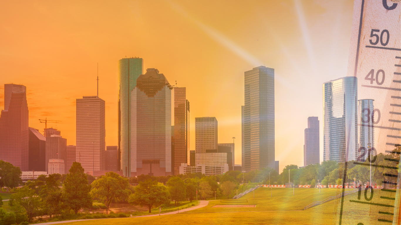
The Heat Advisory Will Continue Through 7 p.m. Saturday, August 22. Houston Is Expected to Reach Highs of 100 to 101 °F, While Nights Stay Near 81 °F.
Updated: Friday, August 21, 2026, 8:30 a.m. CT.
Houston and much of southeast Texas will remain under a heat advisory through Friday and Saturday, with heat indices that could reach between 106 and 112 °F in the region.
The maximum temperature in the city of Houston will be near 100 °F on Friday and rise to 101 °F on Saturday. Humidity will raise the heat index to about 107 °F on Friday and 108 °F on Saturday in the city’s short-term forecast.
Some communities in southeast Texas could experience higher readings. The National Weather Service office in Houston/Galveston warned that portions of eastern counties could approach the level of an Excessive Heat Warning, which begins when the index reaches 113 °F.
The Heat Advisory Will Remain In Effect Through Saturday Night
The advisory will remain active until 7 p.m. on Saturday, August 22, and covers a large swath of southeast Texas.
Among the counties included are Harris, Fort Bend, Montgomery, Galveston, Brazoria, Waller, Chambers, Liberty, Austin, Colorado, Wharton, Matagorda and Jackson. It also covers Houston, Trinity, Madison, Walker, San Jacinto, Polk, Burleson, Brazos, Washington and Grimes.
The alert includes cities and communities such as Houston, Pasadena, Baytown, Sugar Land, Missouri City, Pearland, Conroe, The Woodlands, Galveston, Texas City, League City, Alvin, Angleton, Rosenberg and Katy.
The advisory could extend to Sunday if the heat and humidity keep the heat index near risk levels. The Sunday forecast already calls for another high near 100 °F in Houston.
Houston Will Reach 101 °F With Little Relief Overnight
- Friday, 21: high near 100 °F, heat index up to 107 °F, and west wind around 5 mph. At night there is a 20% chance of showers and thunderstorms before 10 p.m., with a low of 81 °F.
- Saturday, 22: high near 101 °F and heat index up to 108 °F. The west wind will be light and become calm during the morning. There is a 10% chance of storms before 7 p.m. and the overnight low will again be around 81 °F.
- Sunday, 23: the preliminary forecast holds a high near 100 °F, sunny skies, and another warm night with a low around 81 °F.
Low temperatures above 80 °F will lessen relief after sunset. Homes without air conditioning can also retain heat indoors overnight and begin the next day with elevated indoor temperatures.
Isolated Thunderstorms Will Offer Little Relief From the Heat
Rain chances will be limited and widespread cooling is not expected. Storms that do form could appear during the afternoon or early evening, mainly north of Interstate 10.
Most of the region will remain dry. The intense heat can also cause an isolated storm to produce heavy rain and gusty winds for a brief period, though there is no expectation of widespread thunderstorms.
Workers, Seniors and Children Face Higher Risk
Heat-related illnesses can affect anyone, but the risk increases among outdoor workers, people 65 years or older, infants, young children, pregnant women and residents with heart disease, asthma or other chronic conditions.
The Houston Health Department recommends drinking water before you feel thirsty, reducing outdoor work or intense exercise during the hottest hours of the day, and taking frequent breaks in shaded or air-conditioned spaces.
Parked vehicles can reach deadly temperatures in minutes. Babies, children, older adults, people with disabilities and pets should not stay inside a parked car, even if the windows are partially open.
Heat can also modify athletic activities and marching band practices. Since August 1, UIL-affiliated schools must measure conditions before starting and repeat the reading every 30 minutes. The heat rule for Texas schools allows reducing, modifying or suspending activities when the WBGT reading reaches dangerous levels.
Heat Exhaustion and Heat Stroke Present Different Signs
Heat exhaustion can cause heavy sweating, headache, dizziness, weakness, nausea, shortness of breath and muscle cramps. The affected person should move to a cooler location, stop the activity and cool down with water or damp cloths.
Confusion, loss of consciousness, vomiting, severe headache or a very high body temperature can indicate heat stroke. The Houston Office of Emergency Management notes that, in those symptoms, you should call 911 immediately.
Houston Maintains a Map of Cooling Centers
People without air conditioning can consult the updated cooling centers map for Houston. The locations and hours can vary, so the official map allows identifying the nearest available spaces.
Those needing transportation or assistance to reach a center can contact Houston 311. METROLift also appears among transportation options for people with accessibility or mobility needs.
The official forecast for Houston and southeast Texas will be updated during the day. The next significant update will be required if the advisory extends to Sunday or if any area reaches the Extreme Heat Warning level.